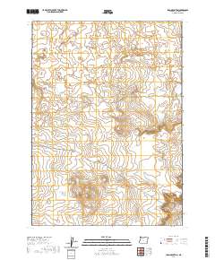
2020 Map of Iron Mountain
USGS Topo · Published 2020About this map
Iron Mtn anchors the southern portion of this high desert landscape, which is defined by extensive volcanic features. The northern reaches of the quadrangle are dominated by the Saddle Butte Lava Field, a broad expanse of basaltic terrain that includes the Saddle Butte Lava Tube. This area of Malheur County shows minimal modern development, characterized primarily by the large-scale grid of the Public Land Survey System and a sparse network of unpaved desert routes like Kiger Rd and Tub Springs Rd. The topographical detail captures the complex drainage patterns and elevation changes across this volcanic plateau, illustrating how geology dictates the transit paths through the region. Land researchers can trace the intricate township and range boundaries that section the territory into distinct administrative blocks.
Find a feature on this map
12 named features on this map. Tap any name to fly to it.
Don’t see what you’re looking for? This feature index may not catch every label — zoom into the map to look around manually.
Map Details
Editions of this 2020 Iron Mountain Map
This is the sole edition of this map. No revisions or reprints were ever made.
Other maps of this area

1955 · Jordan Valley
USGS Topo · 1:250,000

1955 · Boise
USGS Topo · 1:250,000

1957 · Jordan Valley
USGS Topo · 1:250,000

1958 · Boise
USGS Topo · 1:250,000

1958 · Jordan Valley
USGS Topo · 1:250,000

1962 · Boise
USGS Topo · 1:250,000

1972 · Palomino Hills
USGS Topo · 1:24,000
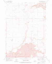
1972 · Wrangle Butte
USGS Topo · 1:24,000
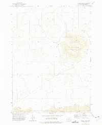
1972 · Saddle Butte
USGS Topo · 1:24,000

1972 · Owyhee Butte
USGS Topo · 1:24,000