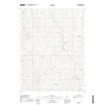
2018 Map of Iron Peak
USGS Topo · Published 2018About this map
The Eel River carves a deep path through this section of Mendocino County, where the steep terrain is marked by isolated settlements and family-named landmarks. The village of Nashmead sits along the river's winding course, serving as a central point in a landscape defined by ridges and canyons. To the west, Iron Peak rises above the drainage of White Rock Creek, while the remote settlement of Spyrock is reached by a network of winding mountain roads like Spyrock Rd and Willow Rd.
Find a feature on this map
38 named features on this map. Tap any name to fly to it.
Don’t see what you’re looking for? This feature index may not catch every label — zoom into the map to look around manually.
Map Details
Editions of this 2018 Iron Peak Map
This is the sole edition of this map. No revisions or reprints were ever made.
Other maps of this area
1920 · Cummings
USGS Topo · 1:62,500
1920 · Covelo
USGS Topo · 1:62,500
1921 · Branscomb
USGS Topo · 1:62,500
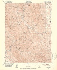
1951 · Branscomb
USGS Topo · 1:62,500
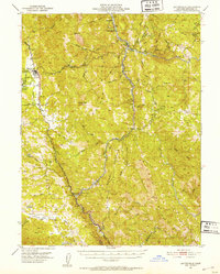
1951 · Laytonville
USGS Topo · 1:62,500
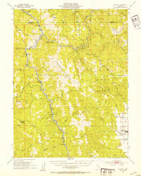
1952 · Spyrock
USGS Topo · 1:62,500
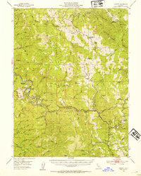
1952 · Leggett
USGS Topo · 1:62,500
1957 · Ukiah
USGS Topo · 1:250,000
1960 · Ukiah
USGS Topo · 1:250,000
1967 · Covelo West
USGS Topo · 1:24,000