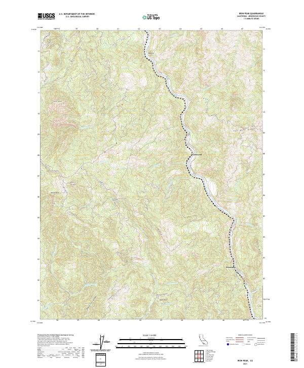
2021 Map of Iron Peak
USGS Topo · Published 2021About this map
The Eel River carves a deep path through this portion of Mendocino County, where the landscape is defined by high ridges and small, dispersed settlements. Spyrock and Nashmead sit near the river's winding course, connected by a network of mountain roads such as Spyrock Rd and Iron Peak Rd. The topography is a complex system of drainage basins where Shell Cr, Corbet Cr, and Black Oak Cr descend from peaks like Iron Peak and White Rock.
Find a feature on this map
43 named features on this map. Tap any name to fly to it.
Don’t see what you’re looking for? This feature index may not catch every label — zoom into the map to look around manually.
Map Details
Editions of this 2021 Iron Peak Map
This is the sole edition of this map. No revisions or reprints were ever made.
Other maps of this area

1920 · Cummings
USGS Topo · 1:62,500

1920 · Covelo
USGS Topo · 1:62,500

1921 · Branscomb
USGS Topo · 1:62,500

1951 · Branscomb
USGS Topo · 1:62,500

1951 · Laytonville
USGS Topo · 1:62,500

1952 · Spyrock
USGS Topo · 1:62,500

1952 · Leggett
USGS Topo · 1:62,500

1957 · Ukiah
USGS Topo · 1:250,000

1960 · Ukiah
USGS Topo · 1:250,000
1967 · Covelo West
USGS Topo · 1:24,000