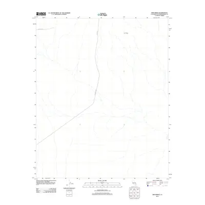
2012 Map of Iron Ridge
USGS Topo · Published 2012About this map
Iron Ridge anchors this arid San Bernardino County landscape, where the geography is defined by isolated transportation routes and high desert terrain. The naming of Bessemer Mine Rd suggests a history of mineral extraction and prospecting in the area, leading south through the drainage patterns toward broader valley floors. This 2012 survey illustrates the modern logistical infrastructure of the region, including the transit corridor of Canyon Rte and the utilitarian path of Powerline Rd. The map provides a precise layout of the seasonal desert washes and elevation contours that characterize this portion of the California desert, capturing a remote environment where human presence is primarily represented by these critical service and mining roads.
Find a feature on this map
4 named features on this map. Tap any name to fly to it.
Don’t see what you’re looking for? This feature index may not catch every label — zoom into the map to look around manually.
Map Details
Editions of this 2012 Iron Ridge Map
This is the sole edition of this map. No revisions or reprints were ever made.
Other maps of this area
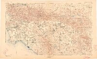
1901 · Southern California Sheet No. 1
USGS Topo · 1:250,000
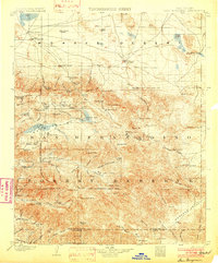
1902 · San Gorgonio
USGS Topo · 1:125,000
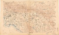
1904 · Southern California Sheet No. 1
USGS Topo · 1:250,000
1953 · San Bernardino
USGS Topo · 1:250,000
1954 · Galway Lake
USGS Topo · 1:24,000
1954 · Emerson Lake
USGS Topo · 1:24,000
1955 · Silver Bell Mine
USGS Topo · 1:24,000
1955 · Sunshine Peak
USGS Topo · 1:24,000
1955 · Old Woman Springs
USGS Topo · 1:62,500
1955 · Lavic
USGS Topo · 1:62,500