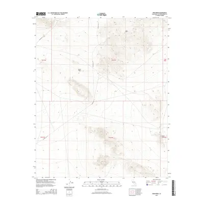
2015 Map of Iron Ridge
USGS Topo · Published 2015About this map
Mojave Desert terrain dominates this 2015 survey of the High Desert region in San Bernardino County, where industrial infrastructure and geologic features define the land use. The map highlights the intersection of modern utility and historical access, notably through Transmission Line Rd and Bessemer Mine Rd, which trace the paths of resource extraction and power distribution. The physical geography is anchored by the prominent Iron Ridge landform, while the dry basin of Galway Lake sits at the eastern edge of the quadrangle. This area reflects the characteristic isolation of California's interior basins, where the landscape is organized by section lines and specialized service roads rather than traditional town settlements.
Find a feature on this map
11 named features on this map. Tap any name to fly to it.
Don’t see what you’re looking for? This feature index may not catch every label — zoom into the map to look around manually.
Map Details
Editions of this 2015 Iron Ridge Map
This is the sole edition of this map. No revisions or reprints were ever made.
Other maps of this area
1901 · Southern California Sheet No. 1
USGS Topo · 1:250,000
1902 · San Gorgonio
USGS Topo · 1:125,000
1904 · Southern California Sheet No. 1
USGS Topo · 1:250,000
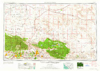
1953 · San Bernardino
USGS Topo · 1:250,000
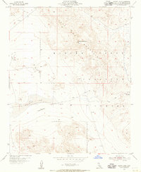
1954 · Galway Lake
USGS Topo · 1:24,000
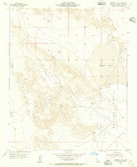
1954 · Emerson Lake
USGS Topo · 1:24,000
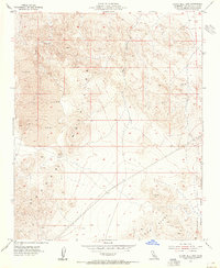
1955 · Silver Bell Mine
USGS Topo · 1:24,000
1955 · Sunshine Peak
USGS Topo · 1:24,000
1955 · Old Woman Springs
USGS Topo · 1:62,500
1955 · Lavic
USGS Topo · 1:62,500