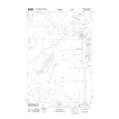
2011 Map of Iron River
USGS Topo · Published 2011About this map
Mineral Hills and its industrial neighbor Forbes Location anchor the northern landscape of this Iron County study. The region's mining heritage is marked by the Minkler Mine, while the growing communities of Iron River and Stambaugh center the map with established infrastructure like the Stambaugh Airport and the Iron County Fairgrounds. The topography transitions from these clustered settlements toward the Brule River corridor in the south, where the Nicolet National Frst begins. Recreational and natural features are prominent throughout the quadrangle, including the Brule Mountain Ski Area near Sheridan Hill, and numerous water bodies such as Stanley Lake, Lake Ottawa, and Bennan Lake that define the local drainage patterns of Nash Creek and the South Branch Iron River.
Find a feature on this map
69 named features on this map. Tap any name to fly to it.
Don’t see what you’re looking for? This feature index may not catch every label — zoom into the map to look around manually.
Map Details
Editions of this 2011 Iron River Map
This is the sole edition of this map. No revisions or reprints were ever made.
Other maps of this area

1898 · Iron River
USGS Topo · 1:62,500

1938 · Alvin
USGS Topo · 1:48,000

1939 · Long Lake
USGS Topo · 1:48,000

1944 · Iron River
USGS Topo · 1:24,000

1944 · Gaastra
USGS Topo · 1:24,000

1945 · Gibbs City
USGS Topo · 1:24,000

1945 · Sunset Lake
USGS Topo · 1:24,000

1946 · Iron River
USGS Topo · 1:31,680

1946 · Sunset Lake
USGS Topo · 1:31,680

1946 · Gaastra
USGS Topo · 1:31,680