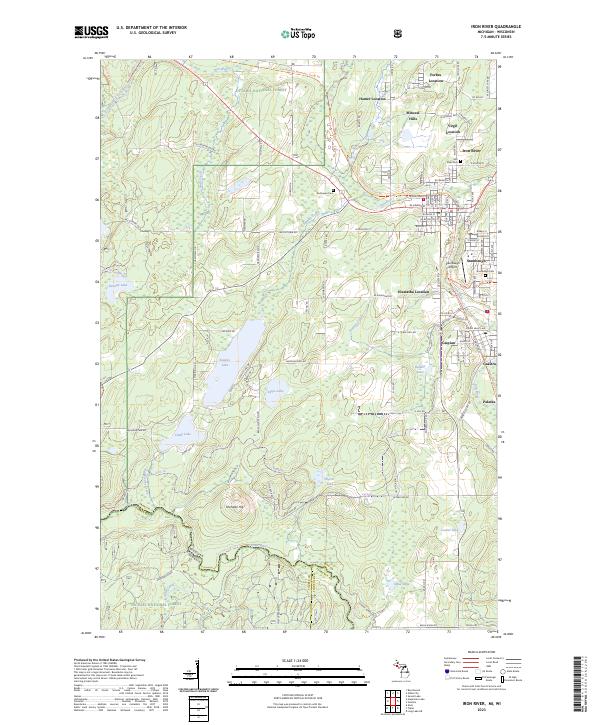
2023 Map of Iron River
USGS Topo · Published 2023About this map
Iron River and its neighboring mining-era settlements form a dense urban corridor along the river valley, transitioning into the expansive woodlands of the Ottawa National Forest. This modern record of the Iron Range landscape shows the enduring layout of industrial communities like Mineral Hills, Caspian, and Stambaugh, where the residential street grids remain closely tied to historical mining locations. To the north, Forbes Location and Homer Location mark the sites of former operations, while Stambaugh Airport occupies a prominent plateau above the valley floor.
Find a feature on this map
133 named features on this map. Tap any name to fly to it.
Don’t see what you’re looking for? This feature index may not catch every label — zoom into the map to look around manually.
Map Details
Editions of this 2023 Iron River Map
This is the sole edition of this map. No revisions or reprints were ever made.
Other maps of this area

1898 · Iron River
USGS Topo · 1:62,500

1938 · Alvin
USGS Topo · 1:48,000

1939 · Long Lake
USGS Topo · 1:48,000

1944 · Iron River
USGS Topo · 1:24,000

1944 · Gaastra
USGS Topo · 1:24,000

1945 · Gibbs City
USGS Topo · 1:24,000

1945 · Sunset Lake
USGS Topo · 1:24,000

1946 · Iron River
USGS Topo · 1:31,680

1946 · Sunset Lake
USGS Topo · 1:31,680

1946 · Gaastra
USGS Topo · 1:31,680