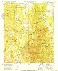
1949 Map of Iron Springs
USGS Topo · Published 1949About this map
The Atchison Topeka and Santa Fe railroad corridor defines the lower elevations of this high-desert terrain, connecting the settlement of Skull Valley to the winding mountain passes above. This late-1940s survey reveals a landscape of cattle ranching and mineral exploration within the Prescott National Forest, where working cattle operations like Bar U Bar Ranch and Rancho Moano coexist with mining sites such as the Boston-Arizona Mine and Golden Star Mine.
Find a feature on this map
95 named features on this map. Tap any name to fly to it.
Don’t see what you’re looking for? This feature index may not catch every label — zoom into the map to look around manually.
Map Details
Editions of this 1949 Iron Springs Map
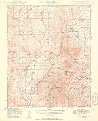
2 editions found
Other maps of this area

1887 · Prescott
USGS Topo · 1:250,000

1892 · Prescott
USGS Topo · 1:250,000

1903 · Bradshaw Mountains
USGS Topo · 1:125,000

1903 · Congress
USGS Topo · 1:125,000

1904 · Congress
USGS Topo · 1:125,000

1905 · Jerome
USGS Topo · 1:125,000

1947 · Simmons
USGS Topo · 1:62,500

1947 · Iron Springs
USGS Topo · 1:62,500

1947 · Mt. Union
USGS Topo · 1:62,500

1947 · Paulden
USGS Topo · 1:62,500