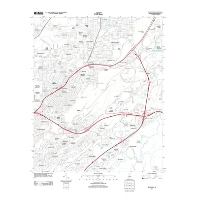
2011 Map of Irondale
USGS Topo · Published 2011About this map
Jones Valley and the surrounding ridges of eastern Birmingham are documented here at a time of significant suburban density and industrial transport. The Norfolk Southern railway corridor serves as a central spine through the landscape, connecting the industrial hub of Irondale with established neighborhoods like Woodlawn Heights and Roebuck Plaza. This period shows a complex aviation footprint, with the Birmingham Municipal Airport-North and several smaller fields, such as Lakeside Airport and Burton D Olshan Airport, scattered across the terrain.
Find a feature on this map
283 named features on this map. Tap any name to fly to it.
Don’t see what you’re looking for? This feature index may not catch every label — zoom into the map to look around manually.
Map Details
Editions of this 2011 Irondale Map
This is the sole edition of this map. No revisions or reprints were ever made.
Other maps of this area

1889 · Birmingham
USGS Topo · 1:125,000

1890 · Bessemer
USGS Topo · 1:125,000

1892 · Birmingham
USGS Topo · 1:125,000

1892 · Bessemer
USGS Topo · 1:125,000

1895 · Birmingham
USGS Topo · 1:125,000

1904 · Birmingham Coal District
USGS Topo · 1:62,500

1905 · Bessemer Iron District
USGS Topo · 1:62,500

1905 · Leeds
USGS Topo · 1:62,500

1906 · Birmingham Special
USGS Topo · 1:62,500

1906 · Vandiver
USGS Topo · 1:62,500