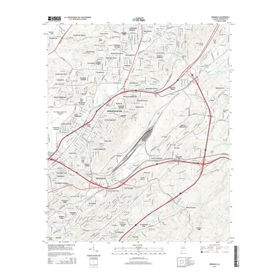
2014 Map of Irondale
USGS Topo · Published 2014About this map
Red Mtn and Shades Mountain frame this portrait of eastern Birmingham and its surrounding suburbs during a period of significant urban density. The landscape is characterized by the ridge-and-valley topography of the Appalachians, with residential developments like Roebuck Springs and Killough Springs tucked into the lower elevations. The massive footprint of the Birmingham-Shuttlesworth International Airport dominates the western edge, while a complex network of major thoroughfares, including the Gadsden Hwy and Bankhead Hwy, facilitates movement through the mountain gaps.
Find a feature on this map
118 named features on this map. Tap any name to fly to it.
Don’t see what you’re looking for? This feature index may not catch every label — zoom into the map to look around manually.
Map Details
Editions of this 2014 Irondale Map
This is the sole edition of this map. No revisions or reprints were ever made.
Other maps of this area

1889 · Birmingham
USGS Topo · 1:125,000

1890 · Bessemer
USGS Topo · 1:125,000

1892 · Birmingham
USGS Topo · 1:125,000

1892 · Bessemer
USGS Topo · 1:125,000

1895 · Birmingham
USGS Topo · 1:125,000

1904 · Birmingham Coal District
USGS Topo · 1:62,500

1905 · Bessemer Iron District
USGS Topo · 1:62,500

1905 · Leeds
USGS Topo · 1:62,500

1906 · Birmingham Special
USGS Topo · 1:62,500

1906 · Vandiver
USGS Topo · 1:62,500