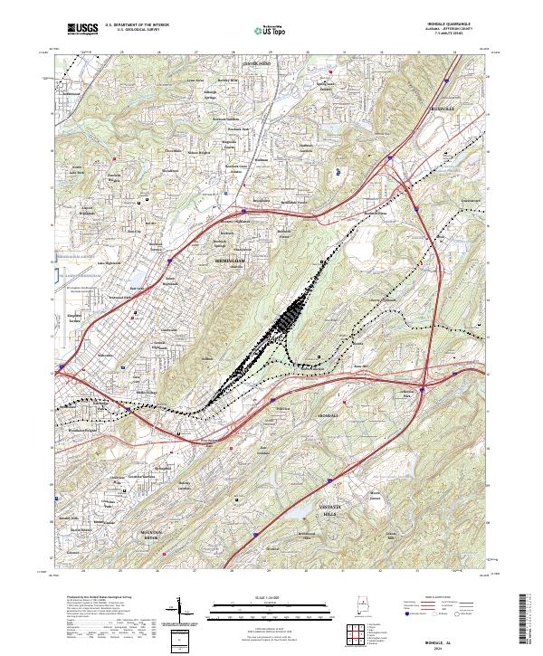
2024 Map of Irondale
USGS Topo · Published 2024About this map
Jones Valley and the prominent ridge of Shades Mountain anchor this portrait of the northeastern Birmingham metro area. The landscape is defined by a dense mosaic of mid-century residential developments and modern infrastructure, including the Birmingham-Shuttlesworth International Airport and a heavy concentration of transport corridors like the Norfolk Southern Rwy. Historical burial grounds such as Reed Cem, Bass Cem, and the McElwain Baptist Cem offer localized points of interest for genealogists tracing family roots within established neighborhoods like Killough Springs, Roebuck Springs, and Zion City. Water features including Village Creek and the headwaters of the Cahaba River reflect the complex hydrology of this part of Jefferson County, where suburban expansion meets the varied topography of Blackjack Ridge and Flat Ridge.
Find a feature on this map
120 named features on this map. Tap any name to fly to it.
Don’t see what you’re looking for? This feature index may not catch every label — zoom into the map to look around manually.
Map Details
Editions of this 2024 Irondale Map
This is the sole edition of this map. No revisions or reprints were ever made.
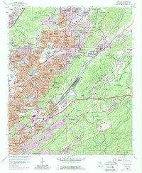
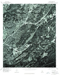
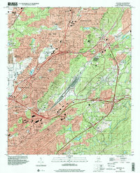
Historical Maps of Magnolia Courts Through Time
4 maps found