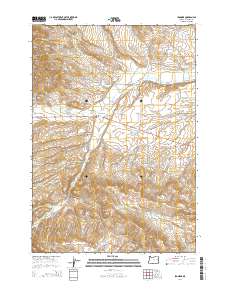
2014 Map of Ironside
USGS Topo · Published 2014About this map
Ironside serves as the focal point for this Malheur County landscape, situated where the John Day Hwy traverses the northern reaches of the Ironside Valley. The area's agricultural and ranching foundations are evident through an extensive network of water management features, including the Rutherford Ditch, Duncan Ditch, and a series of numbered reservoirs such as Moltham Reservoir Three and Moltham Reservoir Four. Local history is anchored by the Ironside Cem, located just south of the main settlement near Middle Willow Cr. The topography transitions from the open valley floor to more complex drainages like Sand Gulch and Ferriers Gulch. To the south, Rock Quarry Reservoir sits near the headwaters of N Clover Cr, illustrating how the region's limited water resources have been systematically captured and diverted for local use.
Find a feature on this map
41 named features on this map. Tap any name to fly to it.
Don’t see what you’re looking for? This feature index may not catch every label — zoom into the map to look around manually.
Map Details
Editions of this 2014 Ironside Map
This is the sole edition of this map. No revisions or reprints were ever made.
Other maps of this area
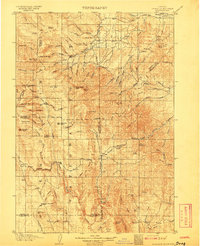
1908 · Ironside Mountain
USGS Topo · 1:125,000

1955 · Baker
USGS Topo · 1:250,000

1955 · Canyon City
USGS Topo · 1:250,000

1959 · Baker
USGS Topo · 1:250,000

1959 · Canyon City
USGS Topo · 1:250,000
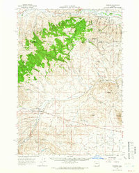
1964 · Ironside
USGS Topo · 1:62,500
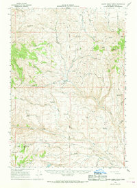
1966 · Clover Creek Ranch
USGS Topo · 1:62,500
1970 · Castle Rock
USGS Topo · 1:62,500
1972 · Hereford
USGS Topo · 1:24,000
1972 · Eldorado Pass
USGS Topo · 1:24,000