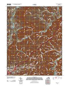
2010 Map of Ironto
USGS Topo · Published 2010About this map
Paris Mountain and the winding course of the North Fork Roanoke River dominate this Appalachian landscape, where narrow hollows and steep ridges dictate the placement of local settlements and roads. The convergence of the North and South Fork Roanoke River near the eastern margin is a central geographic feature, surrounded by communities like Ironto and Shawsville. The infrastructure of the area is notably influenced by the terrain, evidenced by the Big Tunnel near Montgomery and the dense network of rural routes such as Lusters Gate Rd and Reesedale Rd. Genealogists and local historians will find value in the specific naming of small residential developments and cemeteries, including the Marvin Garden Subdivision and Den Hill Cemetery. From the higher elevations of Hightop Mountain to the recreation-focused Den Hill Church Campgrounds, the map documents a mix of traditional mountain communities and modern residential growth.
Find a feature on this map
108 named features on this map. Tap any name to fly to it.
Don’t see what you’re looking for? This feature index may not catch every label — zoom into the map to look around manually.
Map Details
Editions of this 2010 Ironto Map
This is the sole edition of this map. No revisions or reprints were ever made.
Other maps of this area

1890 · Christiansburg
USGS Topo · 1:125,000

1923 · Waiteville
USGS Topo · 1:62,500

1929 · Salem
USGS Topo · 1:48,000

1931 · Waiteville
USGS Topo · 1:48,000

1932 · Salem
USGS Topo · 1:62,500

1932 · Blacksburg
USGS Topo · 1:48,000

1937 · Blacksburg
USGS Topo · 1:62,500

1944 · Waiteville
USGS Topo · 1:62,500

1950 · Elliston
USGS Topo · 1:62,500

1951 · Waiteville
USGS Topo · 1:62,500