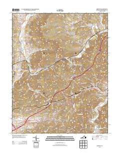
2013 Map of Ironto
USGS Topo · Published 2013About this map
The N Fork Roanoke River and its southern counterpart dominate this Montgomery County landscape, carving through a series of prominent ridges and namesake hollows. This area is characterized by localized settlements and farming communities such as Alleghany Springs and Shawsville, which serve as anchors for the rural road network. A notable engineering landmark, the Big Tunnel, pierces the terrain near Montgomery, signifying the historical importance of rail and transit through these gaps.
Find a feature on this map
169 named features on this map. Tap any name to fly to it.
Don’t see what you’re looking for? This feature index may not catch every label — zoom into the map to look around manually.
Map Details
Editions of this 2013 Ironto Map
This is the sole edition of this map. No revisions or reprints were ever made.
Other maps of this area

1890 · Christiansburg
USGS Topo · 1:125,000

1923 · Waiteville
USGS Topo · 1:62,500

1929 · Salem
USGS Topo · 1:48,000

1931 · Waiteville
USGS Topo · 1:48,000

1932 · Salem
USGS Topo · 1:62,500

1932 · Blacksburg
USGS Topo · 1:48,000

1937 · Blacksburg
USGS Topo · 1:62,500

1944 · Waiteville
USGS Topo · 1:62,500

1950 · Elliston
USGS Topo · 1:62,500

1951 · Waiteville
USGS Topo · 1:62,500