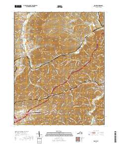
2019 Map of Ironto
USGS Topo · Published 2019About this map
The North Fork Roanoke River and South Fork Roanoke River converge in this corner of Montgomery County, shaping a landscape of deep hollows and prominent ridges. The terrain is defined by Paris Mtn and Mid Piece Mtn, with settlements such as Ironto, Shawsville, and the outskirts of Christiansburg established along the valley floors. The presence of Big Tunnel near Montgomery suggests the historical and engineering importance of rail transport through these gaps.
Find a feature on this map
141 named features on this map. Tap any name to fly to it.
Don’t see what you’re looking for? This feature index may not catch every label — zoom into the map to look around manually.
Map Details
Editions of this 2019 Ironto Map
This is the sole edition of this map. No revisions or reprints were ever made.
Other maps of this area

1890 · Christiansburg
USGS Topo · 1:125,000

1923 · Waiteville
USGS Topo · 1:62,500

1929 · Salem
USGS Topo · 1:48,000

1931 · Waiteville
USGS Topo · 1:48,000

1932 · Salem
USGS Topo · 1:62,500

1932 · Blacksburg
USGS Topo · 1:48,000

1937 · Blacksburg
USGS Topo · 1:62,500

1944 · Waiteville
USGS Topo · 1:62,500

1950 · Elliston
USGS Topo · 1:62,500

1951 · Waiteville
USGS Topo · 1:62,500