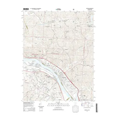
2013 Map of Ironton
USGS Topo · Published 2013About this map
The Ohio River carves a deep valley between Lawrence County, Ohio, and the Kentucky communities of Flatwoods and Raceland. This 2013 survey details the dense river-valley settlement from Hanging Rock and Ironton down to Coal Grove and Bellefonte. The industrial legacy of the region is preserved in place names like Vesuvius Furnace and the Etna Furnace Cem, while much of the upland terrain is managed as part of the Wayne National Forest.
Find a feature on this map
85 named features on this map. Tap any name to fly to it.
Don’t see what you’re looking for? This feature index may not catch every label — zoom into the map to look around manually.
Map Details
Editions of this 2013 Ironton Map
This is the sole edition of this map. No revisions or reprints were ever made.
Other maps of this area
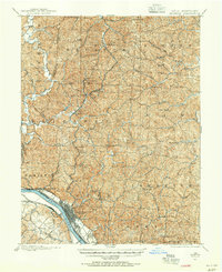
1898 · Ironton
USGS Topo · 1:62,500
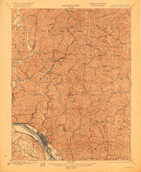
1900 · Ironton
USGS Topo · 1:62,500
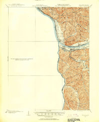
1901 · Ceredo
USGS Topo · 1:62,500

1903 · Kenova
USGS Topo · 1:125,000

1904 · Kenova
USGS Topo · 1:125,000
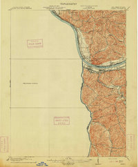
1913 · Ceredo
USGS Topo · 1:62,500
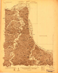
1926 · Greenup
USGS Topo · 1:48,000
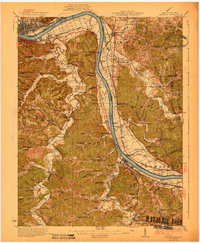
1930 · Greenup
USGS Topo · 1:62,500
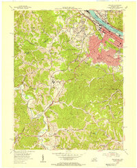
1953 · Ashland
USGS Topo · 1:24,000
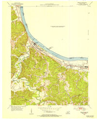
1953 · Greenup
USGS Topo · 1:24,000