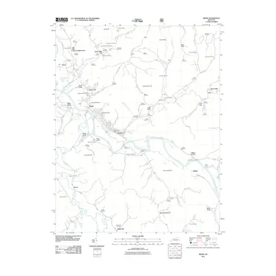
2011 Map of Irvine
USGS Topo · Published 2011About this map
The Kentucky River winds through this Central Kentucky landscape, anchoring a corridor of industrial and residential development at Irvine and Ravenna. To the north, the terrain is defined by the Old Witt School Neighborhood and Lower White Oak, while the southern reaches rise toward Barnes Mountain and Wagersville. The map reveals a dense network of local history, with numerous family-named burial sites such as the Masters Cemetery, Noland Cemetery, and Rawlins Cemetery scattered across the ridges.
Find a feature on this map
106 named features on this map. Tap any name to fly to it.
Don’t see what you’re looking for? This feature index may not catch every label — zoom into the map to look around manually.
Map Details
Editions of this 2011 Irvine Map
This is the sole edition of this map. No revisions or reprints were ever made.
Other maps of this area

1892 · Richmond
USGS Topo · 1:125,000

1892 · Beattyville
USGS Topo · 1:125,000

1897 · Richmond
USGS Topo · 1:125,000

1952 · Alcorn
USGS Topo · 1:24,000

1952 · Leighton
USGS Topo · 1:24,000

1952 · Palmer
USGS Topo · 1:24,000

1952 · Clay City
USGS Topo · 1:24,000

1952 · Stanton
USGS Topo · 1:24,000

1952 · Cobhill
USGS Topo · 1:24,000

1952 · Heidelberg
USGS Topo · 1:24,000