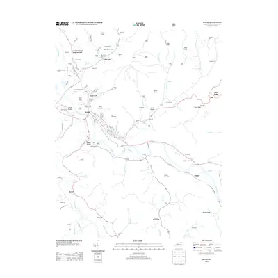
2013 Map of Irvine
USGS Topo · Published 2013About this map
The Kentucky River winds through this Estill County landscape, anchoring a series of communities including Irvine, Ravenna, and West Irvine. This river-corridor geography defined the local development, where the CSX rail line follows the northern bank to support the region's transport needs. Notable for its high density of family-named burial grounds, the map includes the Estill County Cem, Marcum Cem, and Antioch Cem, offering significant data for genealogical research in the area around Old Witt School Neighborhood.
Find a feature on this map
116 named features on this map. Tap any name to fly to it.
Don’t see what you’re looking for? This feature index may not catch every label — zoom into the map to look around manually.
Map Details
Editions of this 2013 Irvine Map
This is the sole edition of this map. No revisions or reprints were ever made.
Other maps of this area

1892 · Richmond
USGS Topo · 1:125,000

1892 · Beattyville
USGS Topo · 1:125,000

1897 · Richmond
USGS Topo · 1:125,000

1952 · Alcorn
USGS Topo · 1:24,000

1952 · Leighton
USGS Topo · 1:24,000

1952 · Palmer
USGS Topo · 1:24,000

1952 · Clay City
USGS Topo · 1:24,000

1952 · Stanton
USGS Topo · 1:24,000

1952 · Cobhill
USGS Topo · 1:24,000

1952 · Heidelberg
USGS Topo · 1:24,000