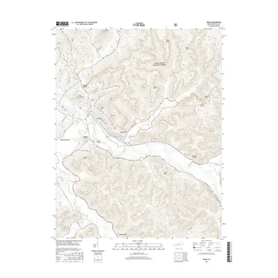
2016 Map of Irvine
USGS Topo · Published 2016About this map
The Kentucky River flows through the heart of Estill County, anchoring the closely linked communities of Irvine, Ravenna, and South Irvine. This river corridor serves as the primary artery for the region, with the town of Ravenna featuring a distinct grid of streets such as Elm St and Poplar St tucked against the northern bank. The topography is defined by high elevations surrounding the river valley, including Star Mtn, Henry Mtn, and the prominent Sweet Lick Knob.
Find a feature on this map
43 named features on this map. Tap any name to fly to it.
Don’t see what you’re looking for? This feature index may not catch every label — zoom into the map to look around manually.
Map Details
Editions of this 2016 Irvine Map
This is the sole edition of this map. No revisions or reprints were ever made.
Other maps of this area

1892 · Richmond
USGS Topo · 1:125,000

1892 · Beattyville
USGS Topo · 1:125,000

1897 · Richmond
USGS Topo · 1:125,000

1952 · Alcorn
USGS Topo · 1:24,000

1952 · Leighton
USGS Topo · 1:24,000

1952 · Palmer
USGS Topo · 1:24,000

1952 · Clay City
USGS Topo · 1:24,000

1952 · Stanton
USGS Topo · 1:24,000

1952 · Cobhill
USGS Topo · 1:24,000

1952 · Heidelberg
USGS Topo · 1:24,000