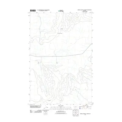
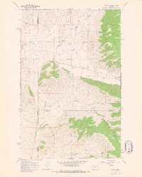
2011 Map of Irvine Lookout Tower
USGS Topo · Published 2011About this map
Hog Heaven Lookout Tower and Irvine Lookout Tower stand as the primary topographical anchors in this high-elevation landscape of western Montana. The terrain is dominated by the Hog Heaven Range in the north and unnamed ridges to the south, separated by a central valley where human activity is marked by Pablo Ranch and Bower Ranch. This 2011 survey reveals a landscape of watershed divides, where Cromwell Creek drains the northern slopes while White Earth Creek and Vinson Creek carve deep valleys through the southern high ground. The presence of these named ranching outposts and strategic lookout points suggests a long-standing balance between fire monitoring, land management, and agricultural utility in Flathead County.
Find a feature on this map
8 named features on this map. Tap any name to fly to it.
Don’t see what you’re looking for? This feature index may not catch every label — zoom into the map to look around manually.
Map Details
Editions of this 2011 Irvine Lookout Tower Map
This is the sole edition of this map. No revisions or reprints were ever made.
Other maps of this area

1920 · Flathead Lake
USGS Topo · 1:125,000

1956 · Wallace
USGS Topo · 1:250,000

1960 · Wallace
USGS Topo · 1:250,000

1964 · Buffalo Bridge
USGS Topo · 1:24,000

1964 · Irvine Lookout Tower
USGS Topo · 1:24,000
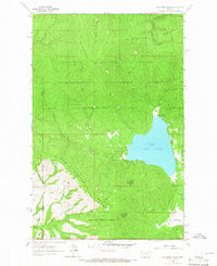
1964 · Lake Mary Ronan
USGS Topo · 1:24,000

1964 · Elmo
USGS Topo · 1:24,000
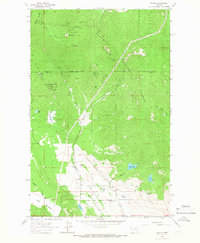
1964 · Proctor
USGS Topo · 1:24,000
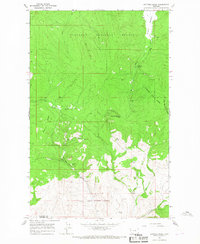
1964 · Kofford Ridge
USGS Topo · 1:24,000
1964 · Niarada
USGS Topo · 1:24,000