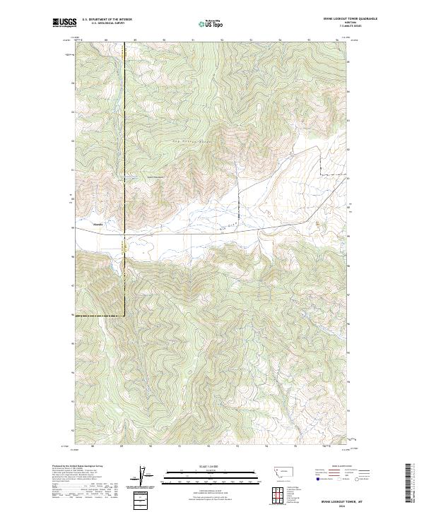
2024 Map of Irvine Lookout Tower
USGS Topo · Published 2024About this map
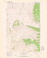
Niarada sits as a primary point of human settlement in this high-altitude landscape where the Hog Heaven Range meets the Salish Mountains. The terrain is defined by dramatic elevation changes and a complex drainage system, including the prominent seasonal waterway of Big Draw which cuts across the central flats. This modern survey illustrates the persistent boundary between Flathead and Lake counties, highlighting how physical geography dictates the passage of infrastructure like Cromwell Creek Rd.
Find a feature on this map
13 named features on this map. Tap any name to fly to it.
Don’t see what you’re looking for? This feature index may not catch every label — zoom into the map to look around manually.
Map Details
Editions of this 2024 Irvine Lookout Tower Map
This is the sole edition of this map. No revisions or reprints were ever made.
Other maps of this area

1920 · Flathead Lake
USGS Topo · 1:125,000

1956 · Wallace
USGS Topo · 1:250,000

1960 · Wallace
USGS Topo · 1:250,000

1964 · Buffalo Bridge
USGS Topo · 1:24,000

1964 · Irvine Lookout Tower
USGS Topo · 1:24,000
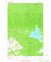
1964 · Lake Mary Ronan
USGS Topo · 1:24,000

1964 · Elmo
USGS Topo · 1:24,000
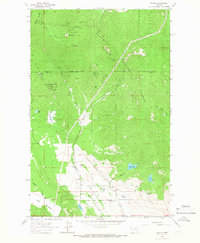
1964 · Proctor
USGS Topo · 1:24,000
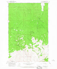
1964 · Kofford Ridge
USGS Topo · 1:24,000
1964 · Niarada
USGS Topo · 1:24,000