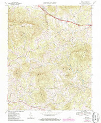
1967 Map of Irving
USGS Topo · Published 1986About this map
Irving is situated along the Norfolk and Western railway corridor, anchoring a region of Bedford County defined by its prominent ridgelines and the winding course of Goose Creek. To the south, the settlement of Chamblissburg serves as a crossroads near the headwaters of Beaverdam Creek. The landscape is carved by numerous drainages, including Shackoe Creek and Bore Auger Creek, which flow between significant peaks like Porter Mountain and Thaxton Mountain.
Find a feature on this map
36 named features on this map. Tap any name to fly to it.
Don’t see what you’re looking for? This feature index may not catch every label — zoom into the map to look around manually.
Map Details
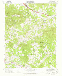
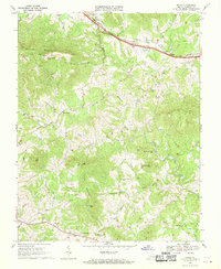
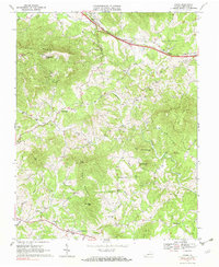
Editions of this 1967 Irving Map
4 editions found
Other maps of this area

1890 · Roanoke
USGS Topo · 1:125,000

1891 · Roanoke
USGS Topo · 1:125,000

1929 · Roanoke
USGS Topo · 1:48,000

1933 · Roanoke
USGS Topo · 1:62,500

1947 · Roanoke
USGS Topo · 1:250,000

1950 · Peaks of Otter
USGS Topo · 1:62,500

1951 · Boones Mill
USGS Topo · 1:62,500

1951 · Moneta
USGS Topo · 1:62,500

1959 · Roanoke
USGS Topo · 1:250,000

1963 · Roanoke
USGS Topo · 1:250,000