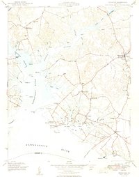
1949 Map of Irvington
USGS Topo · Published 1949About this map
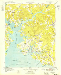
Corrotoman River and its intricate network of prongs and coves dominate this 1940s landscape of the Northern Neck. The river splits into the Western Branch and Eastern Branch, shaping the development of maritime-dependent settlements like Merry Point and Millenbeck. Before the widespread construction of modern bridges, water transit was central to local life, evidenced by the Grey Point - Whitestone Ferry crossing the Rappahannock River and multiple landings such as Ottoman Wharf and Moran Wharf. Inland, the economy is anchored by the commercial hubs of Kilmarnock and Irvington. Historic local landmarks, including the venerable Christ Church and the Campbell Memorial Ch near Weems, illustrate the deep-rooted community structure of Lancaster County. The presence of Dunton Mill and various school sites like Merry Point Sch highlights the self-sufficient nature of these rural peninsular townships during the mid-century.
Find a feature on this map
75 named features on this map. Tap any name to fly to it.
Don’t see what you’re looking for? This feature index may not catch every label — zoom into the map to look around manually.
Map Details
Editions of this 1949 Irvington Map
2 editions found
Other maps of this area

1916 · Kilmarnock
USGS Topo · 1:48,000

1917 · Heathsville
USGS Topo · 1:48,000

1917 · Urbanna
USGS Topo · 1:62,500

1917 · Morattico
USGS Topo · 1:62,500

1917 · Kilmarnock
USGS Topo · 1:62,500

1918 · Morattico
USGS Topo · 1:62,500

1926 · Morattico
USGS Topo · 1:62,500

1942 · Kilmarnock
USGS Topo · 1:62,500

1943 · Richmond
USGS Topo · 1:250,000

1944 · Reedville
USGS Topo · 1:31,680