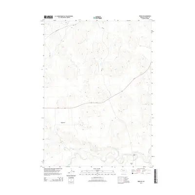
2014 Map of Irwin SW
USGS Topo · Published 2014About this map
Niobrara River flows through the southern section of this Cherry County landscape, carving a valley that defines the local topography south of Lavaca Flats. In the early 21st century, this area remains characterized by large-scale agricultural and ranching patterns, with the small settlement of Bayonne situated near the intersection of several local routes. The map records the modernization of transportation through the region, noting Cowboy Trl running across the northern plains alongside Trail Rd and Irwin Rd. These paths, together with Us-20, create a vital network for this rural Nebraska corridor. Along the river, Lions Bridge serves as a key crossing point, connecting the southern bluffs to the meadows and cattle country that stretch northward toward the state line.
Find a feature on this map
10 named features on this map. Tap any name to fly to it.
Don’t see what you’re looking for? This feature index may not catch every label — zoom into the map to look around manually.
Map Details
Editions of this 2014 Irwin SW Map
This is the sole edition of this map. No revisions or reprints were ever made.
Other maps of this area
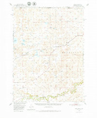
1950 · Irwin
USGS Topo · 1:62,500
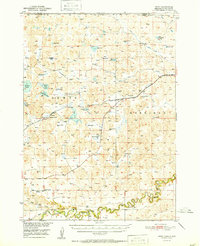
1951 · Irwin
USGS Topo · 1:62,500
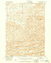
1951 · Gypsy Valley
USGS Topo · 1:62,500
1955 · Alliance
USGS Topo · 1:250,000
1957 · Alliance
USGS Topo · 1:250,000
1957 · Valentine
USGS Topo · 1:250,000
1958 · Alliance
USGS Topo · 1:250,000
1959 · Valentine
USGS Topo · 1:250,000
1969 · Gordon SE
USGS Topo · 1:24,000
1969 · Rushville 4 NE
USGS Topo · 1:24,000