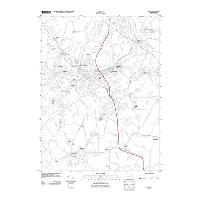
2010 Map of Irwin
USGS Topo · Published 2010About this map
Brush Creek and Bushy Run carve through this Westmoreland County landscape, shaping a dense network of suburban and industrial settlements as they appeared in 2010. The main thoroughfares and the Norfolk Southern rail line anchor a cluster of communities including Irwin, North Irwin, and Manor. These towns are characterized by their proximity to historical infrastructure, such as the Coal Dam at Shafton and the Herminie Waterworks.
Find a feature on this map
128 named features on this map. Tap any name to fly to it.
Don’t see what you’re looking for? This feature index may not catch every label — zoom into the map to look around manually.
Map Details
Editions of this 2010 Irwin Map
This is the sole edition of this map. No revisions or reprints were ever made.
Other maps of this area

1902 · Brownsville
USGS Topo · 1:62,500

1902 · Connellsville
USGS Topo · 1:62,500

1904 · Mc Keesport
USGS Topo · 1:62,500

1904 · Greensburg
USGS Topo · 1:62,500

1906 · Brownsville
USGS Topo · 1:62,500

1906 · Greensburg
USGS Topo · 1:62,500

1907 · Pittsburg
USGS Topo · 1:62,500

1931 · Brownsville
USGS Topo · 1:62,500

1931 · Connellsville
USGS Topo · 1:62,500

1933 · Brownsville
USGS Topo · 1:62,500