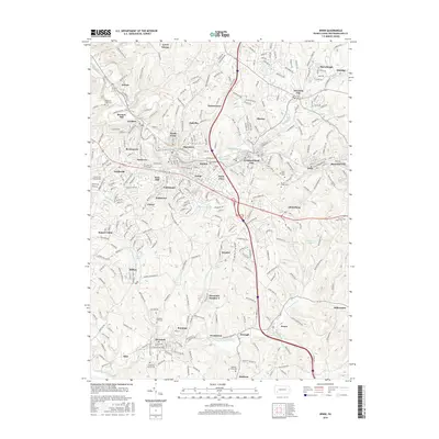
2016 Map of Irwin
USGS Topo · Published 2016About this map
Brush Creek and its many tributaries, including Bushy Run and Byers Run, carve through this densely settled portion of Westmoreland County. The landscape is defined by a tight network of historic communities like Irwin, North Irwin, and Harrison City, reflecting the region's industrial and residential growth. For genealogists and local historians, the sheet is exceptionally detailed in its recording of local cemeteries, including Old Brush Creek Cem and Old Mars Hill Cem, providing vital clues for family research across these townships.
Find a feature on this map
61 named features on this map. Tap any name to fly to it.
Don’t see what you’re looking for? This feature index may not catch every label — zoom into the map to look around manually.
Map Details
Editions of this 2016 Irwin Map
This is the sole edition of this map. No revisions or reprints were ever made.
Other maps of this area

1902 · Brownsville
USGS Topo · 1:62,500

1902 · Connellsville
USGS Topo · 1:62,500

1904 · Mc Keesport
USGS Topo · 1:62,500

1904 · Greensburg
USGS Topo · 1:62,500

1906 · Brownsville
USGS Topo · 1:62,500

1906 · Greensburg
USGS Topo · 1:62,500

1907 · Pittsburg
USGS Topo · 1:62,500

1931 · Brownsville
USGS Topo · 1:62,500

1931 · Connellsville
USGS Topo · 1:62,500

1933 · Brownsville
USGS Topo · 1:62,500