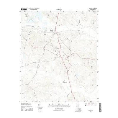
2014 Map of Irwinton
USGS Topo · Published 2014About this map
Irwinton serves as the focal point of this Wilkinson County landscape, where the modern corridor of Us-441 intersects with local routes like Ga-57. The area's settlement history is preserved through numerous family and community burial grounds, including Brundage Cem, Shepherd Cem, and Harvill Cem. The Norfolk Southern railroad tracks cut through the northern portion of the map, passing through McIntyre and Wriley, reflecting the region's enduring connection to rail transport.
Find a feature on this map
87 named features on this map. Tap any name to fly to it.
Don’t see what you’re looking for? This feature index may not catch every label — zoom into the map to look around manually.
Map Details
Editions of this 2014 Irwinton Map
This is the sole edition of this map. No revisions or reprints were ever made.
Other maps of this area
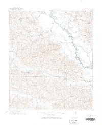
1916 · Irwinton
USGS Topo · 1:62,500
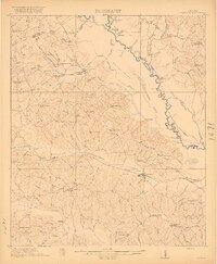
1920 · Irwinton
USGS Topo · 1:62,500
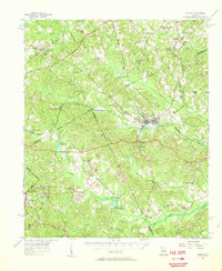
1956 · Gordon
USGS Topo · 1:62,500
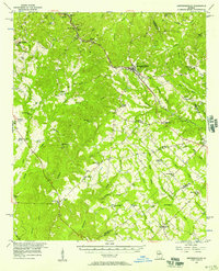
1956 · Jeffersonville
USGS Topo · 1:62,500
1957 · Macon
USGS Topo · 1:250,000
1958 · Macon
USGS Topo · 1:250,000
1964 · Macon
USGS Topo · 1:250,000
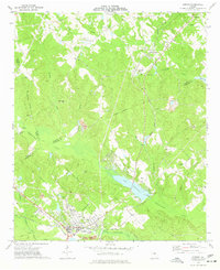
1973 · Gordon
USGS Topo · 1:24,000
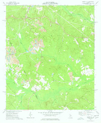
1973 · Massey Hill
USGS Topo · 1:24,000
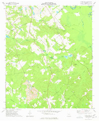
1973 · Napier Pond
USGS Topo · 1:24,000