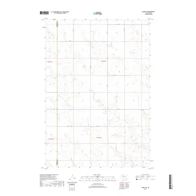
2017 Map of Isabel SW
USGS Topo · Published 2017About this map
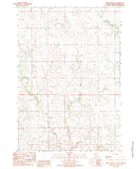
The rolling plains of the Cheyenne River Reservation are defined here by the winding course of Red Earth Cr, which snakes across the southern and western portions of the landscape. This 2017 survey documents the rural character of the border between Ziebach and Dewey counties, where a sparse network of section-line roads provides the only formal infrastructure. In the northeast, the upper reaches of Meadow Cr cut through the high ground, illustrating the drainage patterns typical of this part of the Missouri Plateau. Local travel remains tied to the established grid, with Co Rd 2 and Co Rd 3 serving as the primary connectors between scattered ranching properties. The map captures a moment of modern land management within the Public Land Survey System, showing the township divisions of t16n r21e and t16n r22e.
Find a feature on this map
13 named features on this map. Tap any name to fly to it.
Don’t see what you’re looking for? This feature index may not catch every label — zoom into the map to look around manually.
Map Details
Editions of this 2017 Isabel SW Map
This is the sole edition of this map. No revisions or reprints were ever made.
Other maps of this area
1951 · Dupree NE
USGS Topo · 1:24,000
1952 · Lantry NW
USGS Topo · 1:24,000
1952 · Lantry NE
USGS Topo · 1:24,000

1953 · McIntosh
USGS Topo · 1:250,000

1958 · McIntosh
USGS Topo · 1:250,000
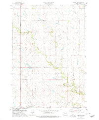
1978 · Isabel SW
USGS Topo · 1:24,000
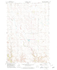
1978 · Peach Lake
USGS Topo · 1:24,000
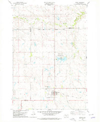
1978 · Isabel
USGS Topo · 1:24,000
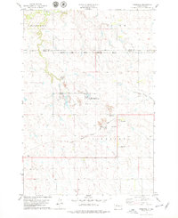
1978 · Firesteel
USGS Topo · 1:24,000
1982 · Irish Creek SE
USGS Topo · 1:24,000