
1943 Map of Isabella
USGS Topo · Published 1944About this map
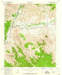
Kernville and Isabella serve as the primary hubs in this mid-century survey of the Kern River valley, showing the landscape before the construction of the Isabella Dam transformed the local topography. The region is defined by a deep-rooted mining economy, evidenced by the numerous operations flanking the river like the Big Blue Mine and Raymond Mine. To the south and east, the South Fork Valley opens into ranching territory with family-named sites such as Doyle Ranch and Fay Ranch following the South Fork Kern River toward Weldon.
Find a feature on this map
81 named features on this map. Tap any name to fly to it.
Don’t see what you’re looking for? This feature index may not catch every label — zoom into the map to look around manually.
Map Details
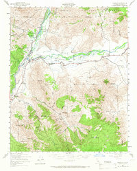
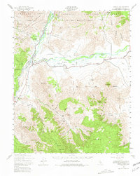
Editions of this 1943 Isabella Map
5 editions found

Other maps of this area

1906 · Kernville
USGS Topo · 1:125,000

1908 · Kernville
USGS Topo · 1:125,000

1914 · Caliente
USGS Topo · 1:125,000

1915 · Mojave
USGS Topo · 1:125,000

1920 · Delonagha
USGS Topo · 1:62,500

1926 · Glennville
USGS Topo · 1:62,500

1936 · Tobias Peak
USGS Topo · 1:125,000

1943 · Cross Mountain
USGS Topo · 1:62,500

1943 · Emerald Mtn
USGS Topo · 1:62,500

1943 · Onyx
USGS Topo · 1:62,500