
1943 Map of Isabella
USGS Topo · Published 1956About this map
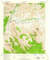
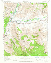
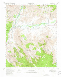
Kern River flows through a landscape defined by ranching and hard-rock mining just before the completion of major water infrastructure projects. The confluence of the main river and the South Fork Kern River centers on the old town of Isabella, a region soon to be reshaped by the developing Isabella Reservoir. This 1943 survey documents the area's agricultural and industrial footprint, from the Big Blue Mill and Big Blue Mine in the north to family-run operations like Fay Ranch and Doyle Ranch in the south. Mining activity is prevalent throughout the Greenhorn Mountains, with named workings such as the Glen Olive Mine and Grandad Mine dotting the canyons. The social fabric of these valleys is anchored by local institutions like Vaughn Sch and South Fork Sch, alongside landmarks like Scovern Hot Springs.
Find a feature on this map
84 named features on this map. Tap any name to fly to it.
Don’t see what you’re looking for? This feature index may not catch every label — zoom into the map to look around manually.
Map Details
Editions of this 1943 Isabella Map
5 editions found

Other maps of this area

1906 · Kernville
USGS Topo · 1:125,000

1908 · Kernville
USGS Topo · 1:125,000

1914 · Caliente
USGS Topo · 1:125,000

1915 · Mojave
USGS Topo · 1:125,000

1920 · Delonagha
USGS Topo · 1:62,500

1926 · Glennville
USGS Topo · 1:62,500

1936 · Tobias Peak
USGS Topo · 1:125,000

1943 · Cross Mountain
USGS Topo · 1:62,500

1943 · Emerald Mtn
USGS Topo · 1:62,500

1943 · Onyx
USGS Topo · 1:62,500