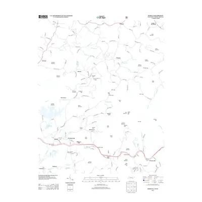
2013 Map of Isabella
USGS Topo · Published 2013About this map
Isabella and surrounding copper-country settlements are situated in a landscape defined by industrial history and mountain terrain. Industrial hydrology is evident at the City Services Renton Pond and the nearby Gypsum Pond, which sit south of Reesetown and Jarnigan Mountain. The map detail reveals a dense network of mountain communities including Burger Town, McGeetown, and McAllister Hill, often clustered near water sources like N Potato Cr. This area, once known for the copper mining activity of the Ducktown Basin, shows a post-industrial landscape where aviation at Martin Campbell Field Airport and transport along Highway 68 have replaced older mineral economies. The terrain is marked by significant peaks such as Shinbone Mountain and Threewit Mountain, with numerous gaps like Angelico Gap and Pack Gap serving as traditional passages through the southern Appalachian ridges.
Find a feature on this map
172 named features on this map. Tap any name to fly to it.
Don’t see what you’re looking for? This feature index may not catch every label — zoom into the map to look around manually.
Map Details
Editions of this 2013 Isabella Map
This is the sole edition of this map. No revisions or reprints were ever made.
Other maps of this area

1888 · Ellijay
USGS Topo · 1:125,000

1892 · Ellijay
USGS Topo · 1:125,000

1893 · Murphy
USGS Topo · 1:125,000

1898 · Ellijay
USGS Topo · 1:125,000

1911 · Ellijay
USGS Topo · 1:125,000

1914 · Murphy
USGS Topo · 1:125,000

1934 · Persimmon Creek
USGS Topo · 1:24,000

1934 · Unaka
USGS Topo · 1:24,000

1934 · Murphy
USGS Topo · 1:48,000

1935 · Epworth
USGS Topo · 1:24,000