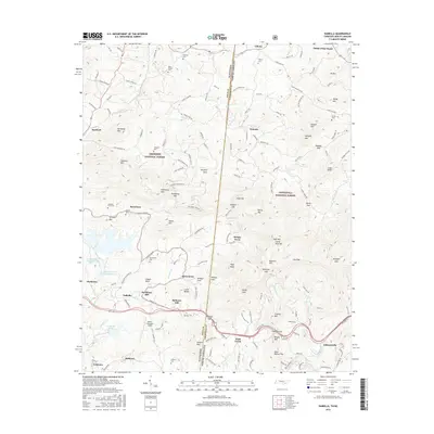
2016 Map of Isabella
USGS Topo · Published 2016About this map
Copper Basin defines the industrial and geographic character of this borderland, where the Tennessee-North Carolina state line separates the Cherokee National Forest from the Nantahala National Forest. The map documents the persistent settlement patterns of the region, from the residential clusters at Ducktown and Isabella to smaller locales like Burger Town and Reesetown. Evidence of the area's resource history is visible in the Burra Burra Tailings Pond and Gypsum Pond, reflecting the long-standing copper operations that shaped the local landscape. Genealogists will find numerous family-named landmarks and burial sites, including Neal Chapel, Threewit Cem, and Amburn Cem. The complex terrain is marked by dozens of named peaks and gaps, such as Angelico Mtn and Wolfpen Gap, while Fields of the Wood stands out as a unique cultural landmark in the northeast corner near Liberty.
Find a feature on this map
164 named features on this map. Tap any name to fly to it.
Don’t see what you’re looking for? This feature index may not catch every label — zoom into the map to look around manually.
Map Details
Editions of this 2016 Isabella Map
This is the sole edition of this map. No revisions or reprints were ever made.
Other maps of this area

1888 · Ellijay
USGS Topo · 1:125,000

1892 · Ellijay
USGS Topo · 1:125,000

1893 · Murphy
USGS Topo · 1:125,000

1898 · Ellijay
USGS Topo · 1:125,000

1911 · Ellijay
USGS Topo · 1:125,000

1914 · Murphy
USGS Topo · 1:125,000

1934 · Persimmon Creek
USGS Topo · 1:24,000

1934 · Unaka
USGS Topo · 1:24,000

1934 · Murphy
USGS Topo · 1:48,000

1935 · Epworth
USGS Topo · 1:24,000