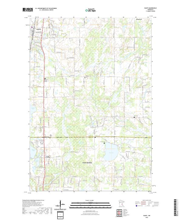
2022 Map of Isanti
USGS Topo · Published 2022About this map
Isanti and East Bethel anchor this 2022 survey of the Minnesota landscape where the North Branch of the Sunrise River and its tributaries drain toward the St. Croix Valley. The map documents a rural-residential transition zone, characterized by a dense network of country roads like Co Rd 5 NE and numerous wetlands and small basins, including Cedar Bog Lake and Stratton Lake.
Find a feature on this map
124 named features on this map. Tap any name to fly to it.
Don’t see what you’re looking for? This feature index may not catch every label — zoom into the map to look around manually.
Map Details
Editions of this 2022 Isanti Map
This is the sole edition of this map. No revisions or reprints were ever made.
Other maps of this area

1916 · St. Francis
USGS Topo · 1:62,500

1919 · St. Francis
USGS Topo · 1:62,500

1953 · Stillwater
USGS Topo · 1:250,000

1955 · Isanti
USGS Topo · 1:62,500

1955 · Stillwater
USGS Topo · 1:250,000

1958 · Stillwater
USGS Topo · 1:250,000

1961 · Bradford
USGS Topo · 1:24,000

1961 · Cambridge
USGS Topo · 1:62,500

1961 · Dalbo
USGS Topo · 1:62,500

1965 · Stillwater
USGS Topo · 1:250,000
Featured Places
- East Bethel, MN
- Isanti, MN
- Linwood Township, MN
- Oxford Township, MN
- Castle Towers Mobile Home Park, East Bethel