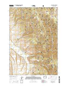
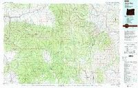
2014 Map of Isham Creek
USGS Topo · Published 2014About this map
Malhuer National Forest encompasses the vast majority of this high-altitude landscape in Grant County, where a complex network of forest development roads provides access to the headwaters of the John Day River. This waterway is fed by numerous drainages including Reynolds Creek and Deardorff Creek, while the namesake Isham Creek flows through the central portion of the quadrangle. The terrain is deeply incised by numerous gulches and draws, such as Winegar Gulch, Eureka Gulch, and Axe Gulch, which reflect the steep topography of the region.
Find a feature on this map
40 named features on this map. Tap any name to fly to it.
Don’t see what you’re looking for? This feature index may not catch every label — zoom into the map to look around manually.
Map Details
Editions of this 2014 Isham Creek Map
This is the sole edition of this map. No revisions or reprints were ever made.
Other maps of this area
1901 · Sumpter
USGS Topo · 1:125,000
1908 · Ironside Mountain
USGS Topo · 1:125,000
1951 · Bates
USGS Topo · 1:62,500

1955 · Canyon City
USGS Topo · 1:250,000

1959 · Canyon City
USGS Topo · 1:250,000
1959 · Prairie City
USGS Topo · 1:62,500
1972 · Austin
USGS Topo · 1:24,000
1972 · Deardorff Mtn
USGS Topo · 1:24,000
1972 · Little Baldy Mnt.
USGS Topo · 1:24,000
1978 · John Day
USGS Topo · 1:100,000