
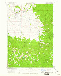
1959 Map of Prairie City
USGS Topo · Published 1960About this map
Prairie City anchors this 1950s survey of eastern Grant County, where the valley of the John Day River meets the high elevations of the Malheur National Forest. The map reflects a dual economy of ranching and natural resource extraction, with the Oxbow Ranch and Ray Ranch situated near the irrigation network of the Ditch and Dixie Creek. Timber and mineral interests are evident at the local Mill and Maude Thompson Mine, while the infrastructure of the era is captured through the Landing Strip and a Sewage Disposal site.
Find a feature on this map
105 named features on this map. Tap any name to fly to it.
Don’t see what you’re looking for? This feature index may not catch every label — zoom into the map to look around manually.
Map Details
Editions of this 1959 Prairie City Map
4 editions found
Other maps of this area

1901 · Sumpter
USGS Topo · 1:125,000

1908 · Ironside Mountain
USGS Topo · 1:125,000

1940 · John Day
USGS Topo · 1:62,500

1943 · John Day
USGS Topo · 1:62,500

1949 · Susanville
USGS Topo · 1:62,500

1951 · Susanville
USGS Topo · 1:62,500

1951 · Bates
USGS Topo · 1:62,500

1955 · Canyon City
USGS Topo · 1:250,000

1959 · Canyon City
USGS Topo · 1:250,000

1961 · Logan Valley
USGS Topo · 1:62,500