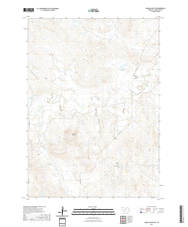
2021 Map of Isinglass Buttes
USGS Topo · Published 2021About this map
Isinglass Buttes anchor this High Plains landscape in Dawes County, Nebraska, where the arid terrain is defined by a network of seasonal drainages and local water management. The White River winds across the northern half of the quadrangle, joined by smaller tributaries like Madden Cr and the meandering Bordeaux Cr. Human presence in this environment is marked by scattered ranch roads such as Slim Butte Rd and Martens Rd, which navigate the township and range grid across T34N and T35N. The reliance on water storage for agricultural or livestock use is evident through several small impoundments, including Ormesher Reservoir, Jones Reservoir, and Litterel Reservoir. This survey provides a clear view of the rural ranching infrastructure and the natural breaks and buttes that characterize this portion of the Nebraska Panhandle.
Find a feature on this map
14 named features on this map. Tap any name to fly to it.
Don’t see what you’re looking for? This feature index may not catch every label — zoom into the map to look around manually.
Map Details
Editions of this 2021 Isinglass Buttes Map
This is the sole edition of this map. No revisions or reprints were ever made.
Other maps of this area

1896 · Oelrichs
USGS Topo · 1:125,000

1900 · Oelrichs
USGS Topo · 1:125,000

1955 · Hot Springs
USGS Topo · 1:250,000

1955 · Alliance
USGS Topo · 1:250,000

1957 · Alliance
USGS Topo · 1:250,000

1958 · Alliance
USGS Topo · 1:250,000

1967 · Slim Butte SW
USGS Topo · 1:24,000

1967 · Slim Butte
USGS Topo · 1:24,000

1969 · Chadron NE
USGS Topo · 1:24,000

1969 · Bordeaux
USGS Topo · 1:24,000