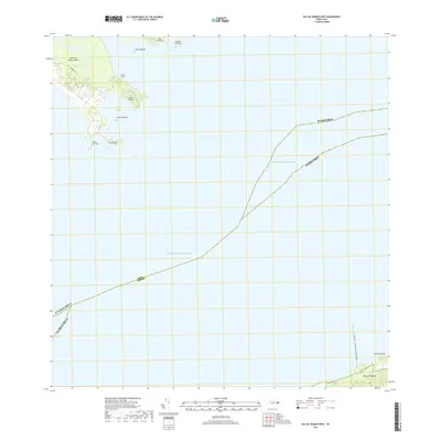
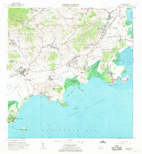
2018 Map of Isla De Vieques West
USGS Topo · Published 2018About this map
Island of Puerto Rico and Isla de Vieques are separated by the strategic waters of the Pasaje de Vieques in this 2018 survey. The map focuses on the coastal interface where the eastern tip of the main island meets the sea at Punta Puerca and Bahia de Puerca. To the north, a cluster of smaller landmasses including Isla Piñeros and Cabezo de Perro dot the coastline, while the northwestern shore of Vieques is anchored by Punta Caballo. Of particular modern significance is the road labeled Puerto de la Libertad David Sanes Rodriguez on Vieques, a name tied to the island's recent history of civil protest and naval withdrawal. The maritime character of the region is further defined by the Sonda de Vieques and smaller outcrops like Isla Cabras and Cabra de Tierra.
Find a feature on this map
16 named features on this map. Tap any name to fly to it.
Don’t see what you’re looking for? This feature index may not catch every label — zoom into the map to look around manually.
Map Details
Editions of this 2018 Isla De Vieques West Map
This is the sole edition of this map. No revisions or reprints were ever made.
Other maps of this area

1943 · Island Of Vieques
USGS Topo · 1:30,000

1946 · Punta Puerca
USGS Topo · 1:30,000

1946 · Naguabo
USGS Topo · 1:30,000

1947 · Naguabo NE
USGS Topo · 1:10,000

1951 · Island Of Vieques
USGS Topo · 1:30,000

1952 · Punta Puerca
USGS Topo · 1:30,000
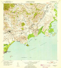
1952 · Naguabo
USGS Topo · 1:30,000
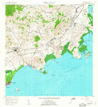
1957 · Naguabo
USGS Topo · 1:20,000
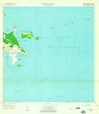
1957 · Punta Puerca
USGS Topo · 1:20,000
1967 · Naguabo
USGS Topo · 1:20,000