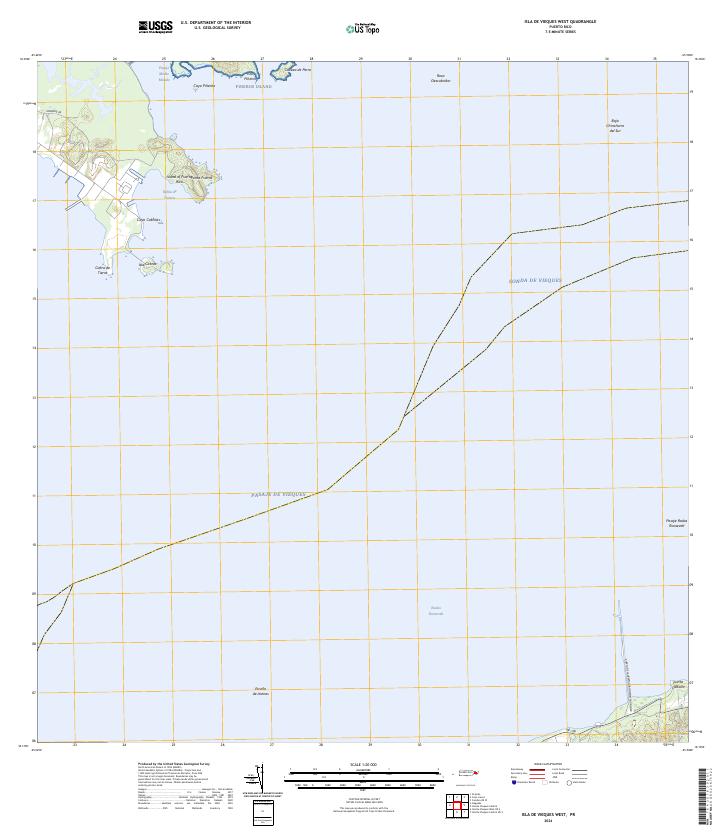
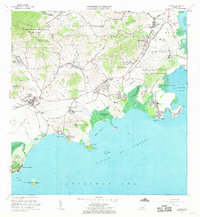
2024 Map of Isla De Vieques West
USGS Topo · Published 2024About this map
Island of Puerto Rico and its offshore cays define this maritime landscape along the eastern coast. The northern reach is dominated by Pineros Island, also known as Isla Piñeros, and the smaller Cayo Piñerito situated in the Pasaje Medio Mundo. Further south, the coast transitions toward Punta Puerca and Bahía de Puerca, showing the intricate shoreline where Cayo Cabritas and Isla Cabras sit near the mouth of the bay.
Find a feature on this map
22 named features on this map. Tap any name to fly to it.
Don’t see what you’re looking for? This feature index may not catch every label — zoom into the map to look around manually.
Map Details
Editions of this 2024 Isla De Vieques West Map
This is the sole edition of this map. No revisions or reprints were ever made.
Other maps of this area

1943 · Island Of Vieques
USGS Topo · 1:30,000

1946 · Punta Puerca
USGS Topo · 1:30,000

1946 · Naguabo
USGS Topo · 1:30,000

1947 · Naguabo NE
USGS Topo · 1:10,000

1951 · Island Of Vieques
USGS Topo · 1:30,000

1952 · Punta Puerca
USGS Topo · 1:30,000
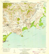
1952 · Naguabo
USGS Topo · 1:30,000
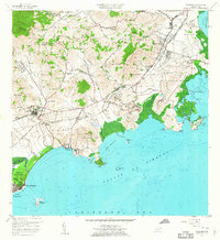
1957 · Naguabo
USGS Topo · 1:20,000
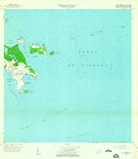
1957 · Punta Puerca
USGS Topo · 1:20,000
1967 · Naguabo
USGS Topo · 1:20,000