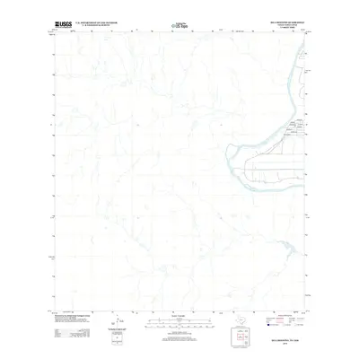
2013 Map of Isla Mesteno
USGS Topo · Published 2013About this map
Arid brushland and a network of seasonal watercourses define this region along the Rio Grande corridor south of Laredo. The landscape is characterized by its sparse human footprint, with activity concentrated in a small cluster of named sites near the river bend. These locations, including Rosales, Jimenez, and Valdez, suggest a pattern of ranching or family-based settlements typical of the South Texas borderlands.
Find a feature on this map
8 named features on this map. Tap any name to fly to it.
Don’t see what you’re looking for? This feature index may not catch every label — zoom into the map to look around manually.
Map Details
Editions of this 2013 Isla Mesteno Map
This is the sole edition of this map. No revisions or reprints were ever made.
Other maps of this area
1933 · Becerra Creek
USGS Topo · 1:62,500
1942 · San Ygnacio
USGS Topo · 1:62,500
1956 · Laredo
USGS Topo · 1:250,000
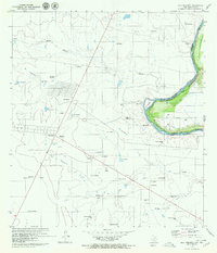
1979 · Isla Mesteno
USGS Topo · 1:24,000
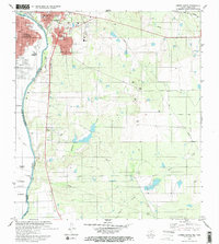
1979 · Laredo South
USGS Topo · 1:24,000
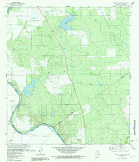
1979 · O'Keefe Lake
USGS Topo · 1:24,000
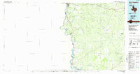
1985 · San Ygnacio
USGS Topo · 1:100,000
2010 · Laredo West OE S
USGS Topo · 1:24,000
2010 · Laredo South
USGS Topo · 1:24,000
2010 · Arroyo Salado West
USGS Topo · 1:24,000