Loading...
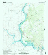
Loading map...1985 Map of San Ygnacio
USGS Topo · Published 1985About this map
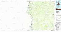
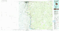
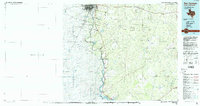
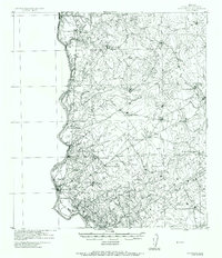
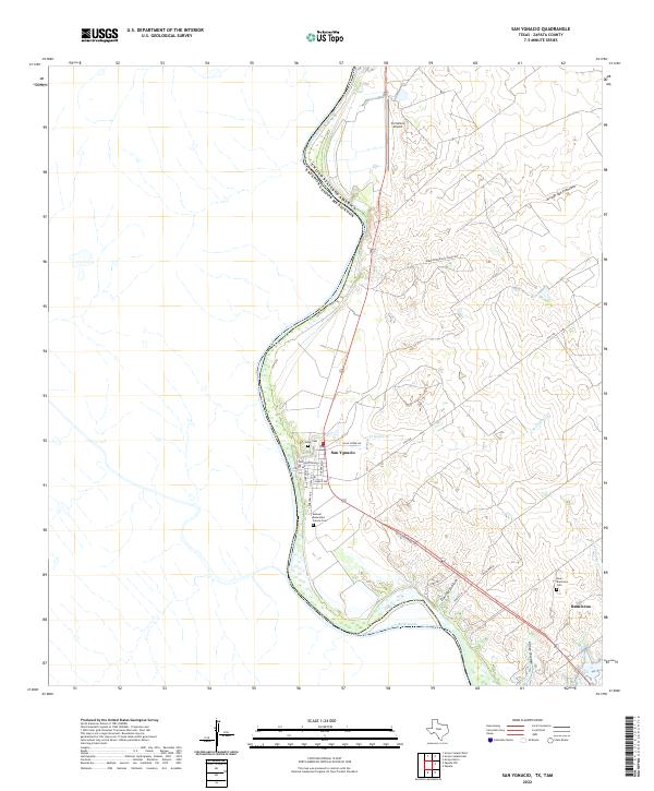
The Rio Grande carves the international boundary between Texas and Mexico in this mid-1980s survey, marking the western edge of Zapata and Webb counties. The riverfront is characterized by a dense network of intermittent arroyos, such as Arroyo Dolores and Arroyo San Francisco, which drain the dry ranchlands toward the river valley. In the north, the urban reach of Laredo contrasts with the small, historic settlements of San Ygnacio and Ramireño downstream.
Find a feature on this map
50 named features on this map. Tap any name to fly to it.
Don’t see what you’re looking for? This feature index may not catch every label — zoom into the map to look around manually.
Map Details
Date Portrayed1985
Date Published1985
PublisherU.S. Geological Survey
Map TypeTopographic
Scale1:100,000
Physical Dimensions45.4 x 24.1 inches
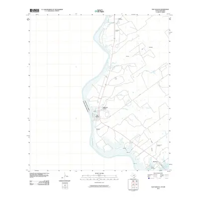
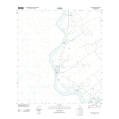
Editions of this 1985 San Ygnacio Map
3 editions found
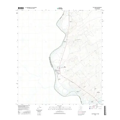
Historical Maps of El Cenizo Through Time
8 maps found
Featured Locations
Source Details
SourceU.S. Geological Survey
CopyrightPublic Domain