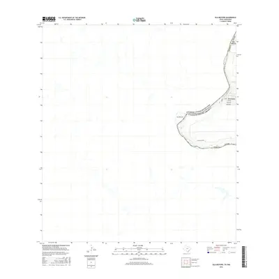
2016 Map of Isla Mesteno
USGS Topo · Published 2016About this map
The Rio Grande (also labeled here as the Rio Bravo) defines the international border between Webb Co, Texas, and the United States and Mexico. This survey highlights a distinctive river bend around Isla Mesteno, where the river's path creates a significant land feature along the boundary. The settlement of El Cenizo appears on the Texas side, showing a compact grid of streets including Jimenez. The map identifies several specific family-named locations or tracts along the river, including Cadena, Morales, Rodriguez, and Hernandez, which provide valuable data for genealogists and local historians tracing land ownership and residency in this borderland corridor. Inland, the landscape is largely characterized by drainage patterns and the path of Ranch Rd 6050A.
Find a feature on this map
14 named features on this map. Tap any name to fly to it.
Don’t see what you’re looking for? This feature index may not catch every label — zoom into the map to look around manually.
Map Details
Editions of this 2016 Isla Mesteno Map
This is the sole edition of this map. No revisions or reprints were ever made.
Other maps of this area
1933 · Becerra Creek
USGS Topo · 1:62,500
1942 · San Ygnacio
USGS Topo · 1:62,500
1956 · Laredo
USGS Topo · 1:250,000
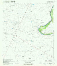
1979 · Isla Mesteno
USGS Topo · 1:24,000
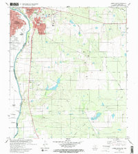
1979 · Laredo South
USGS Topo · 1:24,000
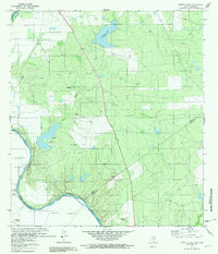
1979 · O'Keefe Lake
USGS Topo · 1:24,000
1985 · San Ygnacio
USGS Topo · 1:100,000
2010 · Laredo West OE S
USGS Topo · 1:24,000
2010 · Laredo South
USGS Topo · 1:24,000
2010 · Arroyo Salado West
USGS Topo · 1:24,000