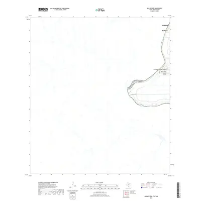
2019 Map of Isla Mesteno
USGS Topo · Published 2019About this map
The Rio Grande serves as a stark international boundary along the eastern edge of this region, separating the United States of America from Mexico. The map illustrates the concentrated development south of Laredo, where the communities of Rio Bravo and El Cenizo occupy the narrow strip of land between the river and the arid interior. Notable local thoroughfares like Ranch Rd 6050A provide access to residential areas and family-named landmarks including Hernandez, Jimenez, and Rodriguez. The landscape away from the river is defined by drainage patterns and sparse infrastructure, showing the expansion of El Cenizo Colonia Number 1 as it relates to the surrounding Webb County geography.
Find a feature on this map
10 named features on this map. Tap any name to fly to it.
Don’t see what you’re looking for? This feature index may not catch every label — zoom into the map to look around manually.
Map Details
Editions of this 2019 Isla Mesteno Map
This is the sole edition of this map. No revisions or reprints were ever made.
Other maps of this area
1933 · Becerra Creek
USGS Topo · 1:62,500
1942 · San Ygnacio
USGS Topo · 1:62,500
1956 · Laredo
USGS Topo · 1:250,000
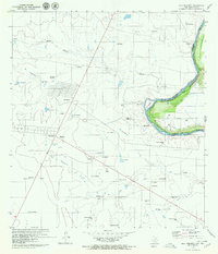
1979 · Isla Mesteno
USGS Topo · 1:24,000
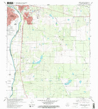
1979 · Laredo South
USGS Topo · 1:24,000
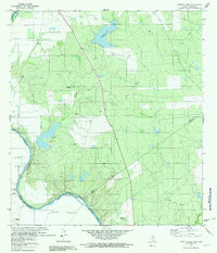
1979 · O'Keefe Lake
USGS Topo · 1:24,000
1985 · San Ygnacio
USGS Topo · 1:100,000
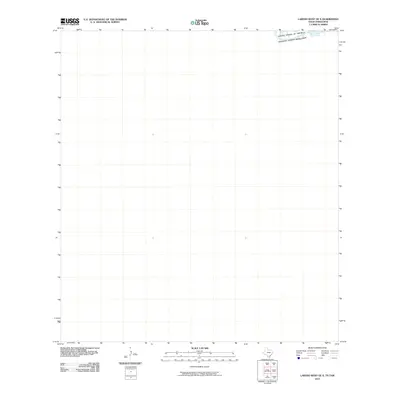
2010 · Laredo West OE S
USGS Topo · 1:24,000
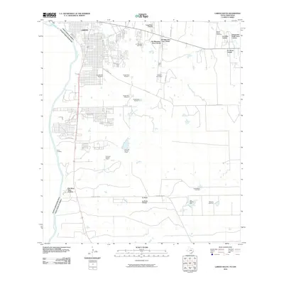
2010 · Laredo South
USGS Topo · 1:24,000
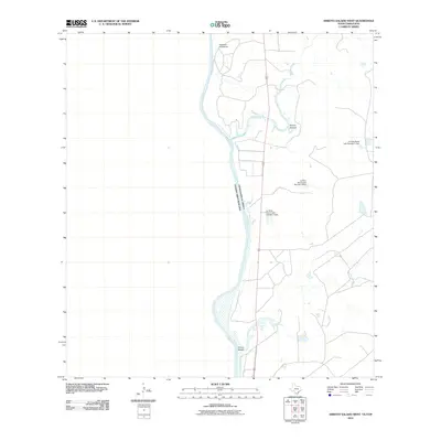
2010 · Arroyo Salado West
USGS Topo · 1:24,000