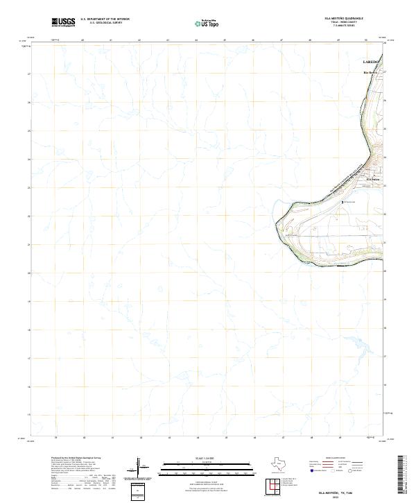
2022 Map of Isla Mesteno
USGS Topo · Published 2022About this map
The international boundary of the United States of America follows the winding course of the Rio Grande in this section of Webb County. The map documents the southern expansion of the Laredo metropolitan area, specifically the communities of Rio Bravo and El Cenizo. These settlements are characterized by a dense grid of local streets such as Jimenez and Hernandez, contrasting sharply with the open brushland to the west. Local history is anchored at the El Cenzio Cem, while the infrastructure of the border region is represented by Ranch Rd 6050A. The landscape beyond the river corridor is marked by numerous small drainage features and ephemeral streams that feed into the primary river valley.
Find a feature on this map
10 named features on this map. Tap any name to fly to it.
Don’t see what you’re looking for? This feature index may not catch every label — zoom into the map to look around manually.
Map Details
Editions of this 2022 Isla Mesteno Map
This is the sole edition of this map. No revisions or reprints were ever made.
Other maps of this area

1933 · Becerra Creek
USGS Topo · 1:62,500

1942 · San Ygnacio
USGS Topo · 1:62,500

1956 · Laredo
USGS Topo · 1:250,000
1979 · Isla Mesteno
USGS Topo · 1:24,000

1979 · Laredo South
USGS Topo · 1:24,000

1979 · O'Keefe Lake
USGS Topo · 1:24,000
1985 · San Ygnacio
USGS Topo · 1:100,000
2010 · Laredo West OE S
USGS Topo · 1:24,000
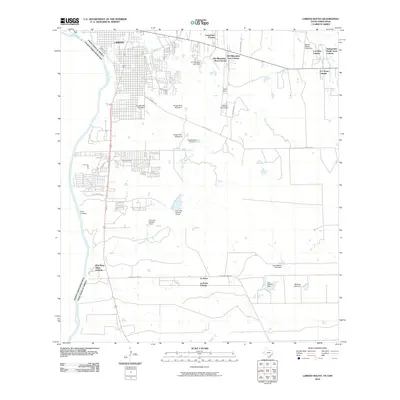
2010 · Laredo South
USGS Topo · 1:24,000
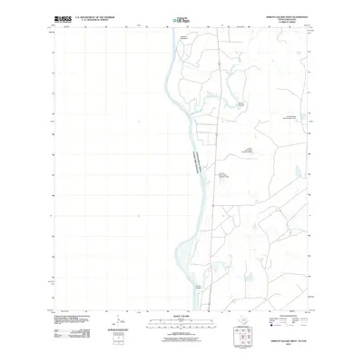
2010 · Arroyo Salado West
USGS Topo · 1:24,000