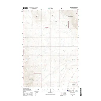
2014 Map of Island Butte
USGS Topo · Published 2014About this map
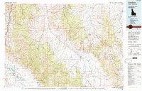
Beaverhead National Forest lands dominate this high-altitude landscape in Beaverhead County, defined by a complex network of drainages and prominent geological features. The land is punctuated by Island Butte in the north and the high waters of Coyote Lake to the west. This 2014 survey documents a terrain where access is limited to significant thoroughfares such as Big Sheep Creek Rd and Cabin Creek Rd, reflecting the remote nature of the southwestern Montana backcountry. Numerous seasonal and perennial streams, including the split headwaters of N Fork Alkali Cr and S Fork Alkali Cr, carve deep into the topography. These waterways, alongside Nicholia Cr and Simpson Cr, illustrate the intricate watershed patterns that have shaped land use and ranching boundaries in the region for generations.
Find a feature on this map
22 named features on this map. Tap any name to fly to it.
Don’t see what you’re looking for? This feature index may not catch every label — zoom into the map to look around manually.
Map Details
Editions of this 2014 Island Butte Map
This is the sole edition of this map. No revisions or reprints were ever made.
Other maps of this area

1955 · Dubois
USGS Topo · 1:250,000
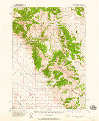
1956 · Morrison Lake
USGS Topo · 1:62,500
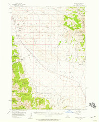
1956 · Nicholia
USGS Topo · 1:62,500
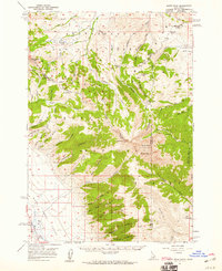
1957 · Scott Peak
USGS Topo · 1:62,500

1958 · Dubois
USGS Topo · 1:250,000
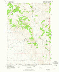
1965 · Caboose Canyon
USGS Topo · 1:24,000
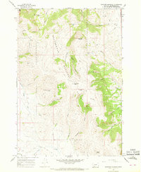
1965 · Graphite Mountain
USGS Topo · 1:24,000
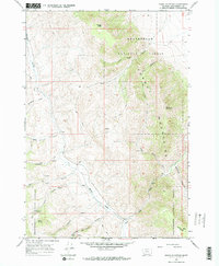
1965 · Dixon Mountain
USGS Topo · 1:24,000
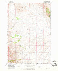
1965 · Island Butte
USGS Topo · 1:24,000
1980 · Leadore
USGS Topo · 1:100,000