
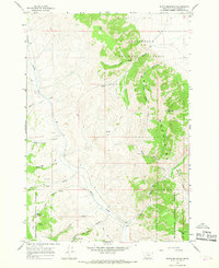
1965 Map of Dixon Mountain
USGS Topo · Published 1968About this map
The Tendoy Mountains define this high-altitude landscape within the Beaverhead National Forest, characterized by a complex network of canyons and drainage systems. Water sources are critical markers here, from the prominent Big Sheep Creek and Muddy Creek to named points like Harkness Spring and Rock Spring. The terrain rises sharply to peaks like Dixon Mountain and Timber Butte, where early resource exploration is evidenced by several prospect locations and a Gaging Sta along the creek.
Find a feature on this map
28 named features on this map. Tap any name to fly to it.
Don’t see what you’re looking for? This feature index may not catch every label — zoom into the map to look around manually.
Map Details
Editions of this 1965 Dixon Mountain Map
2 editions found
Other maps of this area

1955 · Dubois
USGS Topo · 1:250,000

1958 · Dubois
USGS Topo · 1:250,000

1965 · Kidd
USGS Topo · 1:24,000

1965 · Caboose Canyon
USGS Topo · 1:24,000

1965 · Gallagher Gulch
USGS Topo · 1:24,000

1965 · Briggs Ranch
USGS Topo · 1:24,000

1965 · Graphite Mountain
USGS Topo · 1:24,000

1965 · Deer Canyon
USGS Topo · 1:24,000

1965 · Dell
USGS Topo · 1:24,000

1965 · Island Butte
USGS Topo · 1:24,000