1965 Map of Kidd
USGS Topo · Published 1965About this map
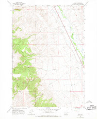
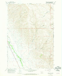
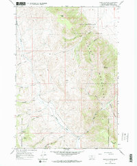
The high-country terrain of the Tendo Mountains dominates this mid-1960s survey of southern Beaverhead Co., where the rugged topography transitions into the drainage basin of the Red Rock River. Much of the western landscape is protected within the Beaverhead National Forest, defined by a series of significant canyons including McKenzie Canyon, Bell Canyon, and Limekiln Canyon.
Find a feature on this map
16 named features on this map. Tap any name to fly to it.
Don’t see what you’re looking for? This feature index may not catch every label — zoom into the map to look around manually.
Map Details
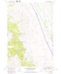
Editions of this 1965 Kidd Map
2 editions found
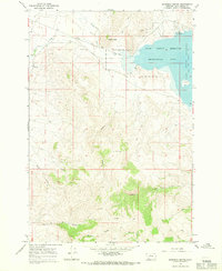
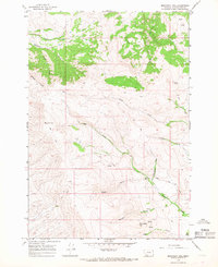
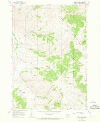
Other maps of this area

1955 · Dubois
USGS Topo · 1:250,000

1958 · Dubois
USGS Topo · 1:250,000
1965 · Garfield Canyon
USGS Topo · 1:24,000
1965 · Monument Hill
USGS Topo · 1:24,000
1965 · Briggs Ranch
USGS Topo · 1:24,000
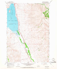
1965 · Red Rock
USGS Topo · 1:24,000
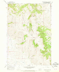
1965 · Graphite Mountain
USGS Topo · 1:24,000
1965 · Deer Canyon
USGS Topo · 1:24,000
1965 · Dixon Mountain
USGS Topo · 1:24,000
1965 · Dell
USGS Topo · 1:24,000