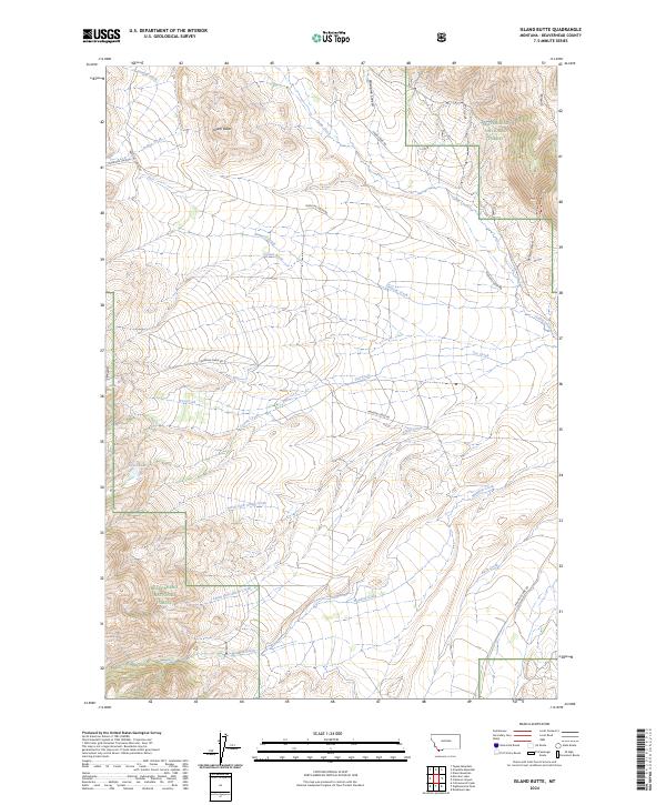
2024 Map of Island Butte
USGS Topo · Published 2024About this map
Island Butte serves as a prominent landmark in this high-altitude landscape of Beaverhead County, where the eastern edges of the Beaverhead National Forest meet a complex network of seasonal drainages. The area is defined by its watershed patterns, with numerous forks and creeks such as North Fork Alkali Creek and South Fork Alkali Creek carving through the terrain. Evidence of long-standing cattle ranching and remote access is visible in the primitive road system, including the historic route of Medicine Lodge Rd and the path through Porcupine Canyon. The presence of Coyote Lake and various spring-fed streams like Crystal Creek suggest the critical importance of water management in this high-basin environment. This 2024 data reflects the contemporary state of these public lands, showing how modern topographical mapping continues to track the remote corridors of Meadow Creek Rd and Cabin Creek Rd.
Find a feature on this map
26 named features on this map. Tap any name to fly to it.
Don’t see what you’re looking for? This feature index may not catch every label — zoom into the map to look around manually.
Map Details
Editions of this 2024 Island Butte Map
This is the sole edition of this map. No revisions or reprints were ever made.
Other maps of this area

1955 · Dubois
USGS Topo · 1:250,000

1956 · Morrison Lake
USGS Topo · 1:62,500

1956 · Nicholia
USGS Topo · 1:62,500

1957 · Scott Peak
USGS Topo · 1:62,500

1958 · Dubois
USGS Topo · 1:250,000

1965 · Caboose Canyon
USGS Topo · 1:24,000

1965 · Graphite Mountain
USGS Topo · 1:24,000

1965 · Dixon Mountain
USGS Topo · 1:24,000

1965 · Island Butte
USGS Topo · 1:24,000

1980 · Leadore
USGS Topo · 1:100,000