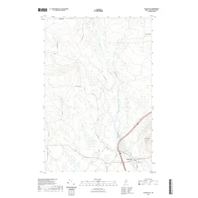
2021 Map of Island Falls
USGS Topo · Published 2021About this map
Island Falls serves as the primary focal point of this Aroostook County landscape, situated at the confluence of Fish Stream and the West Branch Mattawamkeag River. The terrain transitions from the river valley up toward Robinson Mtn and the long elevation of Delette Ridge. To the north, the small settlement of Batesville is marked near the Bates Cem, reflecting the early 20th-century footprint of rural township life. The river itself is punctuated by natural landmarks like Stair Falls and Warren Falls, while a network of industrial and local roads, including Champion Paper Rd and St Regis Paper Rd, indicates the enduring importance of the timber and paper industries to the regional economy. The map also detail numerous waterways such as Alder Brook, Bog Brook, and Crystal Brook, which defined the drainage and settlement patterns of this Maine wilderness.
Find a feature on this map
34 named features on this map. Tap any name to fly to it.
Don’t see what you’re looking for? This feature index may not catch every label — zoom into the map to look around manually.
Map Details
Editions of this 2021 Island Falls Map
This is the sole edition of this map. No revisions or reprints were ever made.
Other maps of this area

1937 · Smyrna Mills
USGS Topo · 1:62,500

1940 · Island Falls
USGS Topo · 1:62,500

1940 · Sherman
USGS Topo · 1:62,500

1941 · Mattawamkeag Lake
USGS Topo · 1:62,500

1942 · Island Falls
USGS Topo · 1:62,500

1942 · Sherman
USGS Topo · 1:62,500

1943 · Mattawamkeag Lake
USGS Topo · 1:62,500

1954 · Presque Isle
USGS Topo · 1:250,000

1954 · Millinocket
USGS Topo · 1:250,000

1955 · Smyrna Mills
USGS Topo · 1:62,500