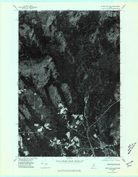
1975 Map of Island Falls SE
USGS Topo · Published 1980About this map
The village of Island Falls serves as the focal point for this 1975 orthophoto survey, situated at the confluence of several vital northern Maine waterways. This aerial perspective, prepared by the Department of the Interior, reveals the distinct spatial relationship between the concentrated development of the town and the surrounding agricultural clearings of Batesville. The landscape is defined by the winding course of the West Branch Mattawamkeag River, which transitions from the forested timberlands into the more settled southern reaches of the quadrangle.
Find a feature on this map
8 named features on this map. Tap any name to fly to it.
Don’t see what you’re looking for? This feature index may not catch every label — zoom into the map to look around manually.
Map Details
Editions of this 1975 Island Falls SE Map
This is the sole edition of this map. No revisions or reprints were ever made.
Other maps of this area

1937 · Smyrna Mills
USGS Topo · 1:62,500

1940 · Island Falls
USGS Topo · 1:62,500

1940 · Sherman
USGS Topo · 1:62,500

1941 · Mattawamkeag Lake
USGS Topo · 1:62,500

1942 · Island Falls
USGS Topo · 1:62,500

1942 · Sherman
USGS Topo · 1:62,500

1943 · Mattawamkeag Lake
USGS Topo · 1:62,500

1954 · Presque Isle
USGS Topo · 1:250,000

1954 · Millinocket
USGS Topo · 1:250,000

1955 · Smyrna Mills
USGS Topo · 1:62,500