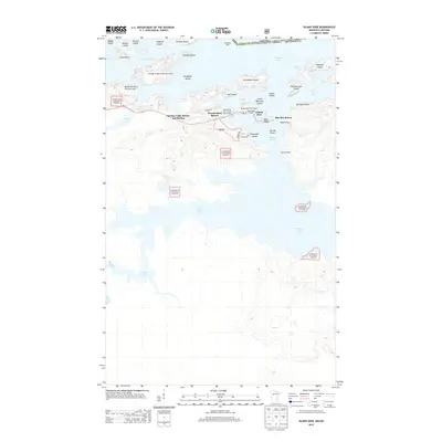
2013 Map of Island View
USGS Topo · Published 2013About this map
Rainy Lake dominates this northern landscape, defining the international border between Minnesota and Canada. Along the southern shores of the lake, the settlement of Island View serves as a gateway to the water, characterized by a concentration of seasonal and recreational infrastructure. Several commercial landmarks, including the Spring Lodge Resort and Marina, Thunderbird Resort, and Sha-Sha Resort, highlight the area's mid-century evolution into a premiere fishing and wilderness destination. The map illustrates a complex network of islands and peninsulas, such as Grassy Island, Aeroplane Island, and Dryweed Island, many of which sit within or adjacent to the Superior National Forest. This era of the region is marked by a blend of private resort development and public land management, supported by the visibility of features like the Black Bay Lookout Tower and navigation aids like Bald Rock Light.
Find a feature on this map
43 named features on this map. Tap any name to fly to it.
Don’t see what you’re looking for? This feature index may not catch every label — zoom into the map to look around manually.
Map Details
Editions of this 2013 Island View Map
This is the sole edition of this map. No revisions or reprints were ever made.
Other maps of this area
1919 · International Falls
USGS Topo · 1:62,500
1954 · International Falls
USGS Topo · 1:250,000
1957 · International Falls
USGS Topo · 1:250,000
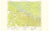
1958 · International Falls
USGS Topo · 1:250,000
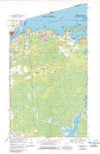
1963 · Ranier
USGS Topo · 1:24,000
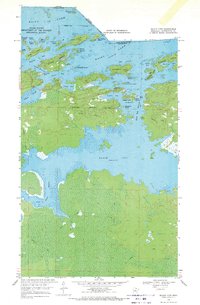
1969 · Island View
USGS Topo · 1:24,000
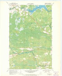
1969 · Ericsburg
USGS Topo · 1:24,000
1969 · Ray
USGS Topo · 1:24,000
1969 · Cranberry Bay
USGS Topo · 1:24,000
1969 · Ranier
USGS Topo · 1:24,000